For millennia, humans have navigated the world using the stars and maps. Unfortunately, most people nowadays can’t find their own home without using their cellphones or some other form of assisted navigation.
While many have lost or abandoned this ancestral ability, the art and talent of navigating using traditional means remains an important part of being a Soldier.
“It is a very important skill because we can’t rely too much on technology,” said Gabriel Cordero-Velasquez, a Cadet from the University of Puerto Rico Mayagüez. “We’re not always going to have technology there to assist us.”
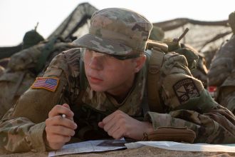
Cadet Summer Training prepares Cadets to be proficient in the use of technology, but demands they are ready to navigate their way out of trouble in case it fails them. Cordero-Velasquez and the rest of Cadets from 6th Regiment, Advanced Camp, Alpha and Bravo Companies, showcased this ability during the Land Navigation or LandNav exercise on Monday, July 5, during a hot and humid Kentucky day at Fort Knox.
The event challenged Cadets to find three out of four randomly assigned points in a large area of the installation in under four hours. Adding to the task, Cadets must complete it alone.
Not all Cadets started the event with the same confidence level. For some, LandNav was just another day at the office.
“I haven’t missed a point since freshman year first semester,” said Quinn Rankin, a Cadet from Xavier University. For Rankin, this LandNav marks the seventh time he participates in the event at Fort Knox thanks to his ROTC program coming to the post for training every semester.
Unlike Rankin, most Cadets come from other states and U.S. territories and were unfamiliar with Kentucky’s landscape.
“The terrain is very different. In Puerto Rico we don’t have [many] big trees. Over there is more like super tall grass in an open landscape,” said Cordero-Velasquez.
Regardless of where they come from, all Cadets arrive to Cadet Summer Training with the basic skills required to complete LandNav. All they have to do is trust themselves and their training.
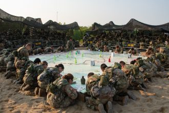
Cadets begin the course by receiving a package with a map, a score card and instructions. This package remains sealed until they receive the final piece of information from Cadre and this starts their timer.
After plotting their points on the map, Cadets begin moving toward them using different navigation techniques. Some of the most popular among Cadets are Terrain Association and Dead Reckoning.
For Terrain association, Cadets use their map to find terrain features to link and create a path to follow. On the other hand, Dead Reckoning requires they use a two-step process. First, they use a protractor and graphic scales to determine distance and direction from one point to another in the map. Once this is complete, they use their compass and some form of measuring distance to transition from one point to another.
Kentucky’s wilderness and heat were challenging opponents but 6th Regiment, Advanced Camp, Cadets training and mental toughness helped them overcome the obstacles.
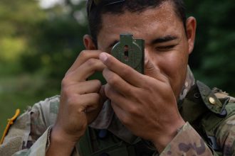
At the end of the event, both CorderoVelasquez and Rankin found all four of their points and were ready to move on with the next part of their CST training.

