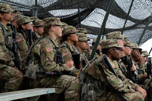
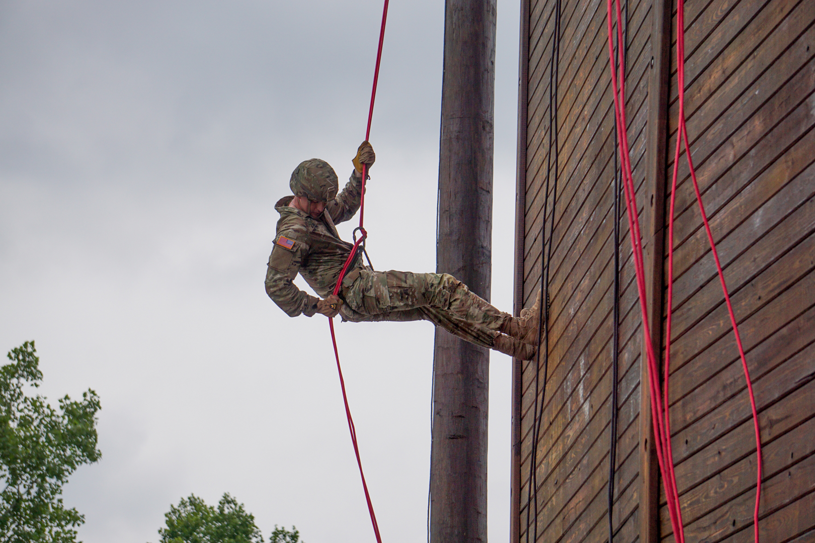
Cadets from 1st Regiment Basic Camp were introduced to the concept of Land Navigation on July 11, 2021. For most Basic Camp Cadets, this was the first time they learned to find their way without a phone or GPS.

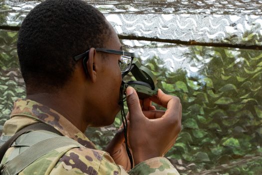
Cadets rotated through three courses, learning how to properly use a compass, identify terrain features on a map, and set their pace count, or how many steps they take when walking a distance of 100 meters on flat ground.
During Land Navigation, Cadets receive randomly assigned coordinate points that they will plot on a map using their protractor. Using the map, they will look for various types of terrain like hills, valleys and creeks that can help them determine the location of their point.
Each of these steps are detrimental to a Cadet’s success of the Land Navigation course. For example, pace count might vary when walking uphill or downhill, or a compass could be calibrated wrong. Having this knowledge upfront and knowing what to do about it will prepare Cadets for situations they may encounter in the woods while looking for their points.

After becoming familiar with the steps of land navigation, Cadets will try it out for themselves, locating points in teams of three or four during Buddy Team Land Navigation the following day.
“I’m excited to start looking for points, it’s definitely a learning opportunity. I know it’s going to be a challenge but I’m looking forward to it. That’s what we’re here for,” said Imani Elsey, Georgia State University.
Additionally, Basic Camp Cadets who return to Fort Knox for Advanced Camp will be more familiar with the course and its features when they’re required to look for their points individually.
Land Navigation may be uncharted territory for many Cadets, but it is important come prepared.
“Know your Army regulations so you know what you’re talking about when you get here and you’ll be good,” suggested Camryn Calhoun, Georgia State University.


